Municipalities, inter-municipal bodies, joint syndicates
Local authorities in France
- Maps for municipal emergency plans (PCS, PICS)
- Local address base, checked and published
- Flood exposure and municipal atlases
Freelance GIS cartographer · remote or in West Africa
Mobile data collection with KoboToolbox and ODK, access-to-services maps, OpenStreetMap and training for local teams, in English, French, Fula or Wolof.
For NGOs, UN agencies and research institutes: health, water, education or research projects that need reliable field data and maps their teams can read.
KoboToolbox, ODK Collect or Survey123 forms: design, geolocation, enumerator instructions, quality control and a clean export.
Health, education, water: distance to facilities, road accessibility and a multi-criteria synthesis to find poorly served areas.
Collaborative mapping projects on Tasking Manager, validation of contributions in JOSM, mapathons.
QGIS, OpenStreetMap and mobile data collection, hands-on, for field teams and local technicians, on site or online.
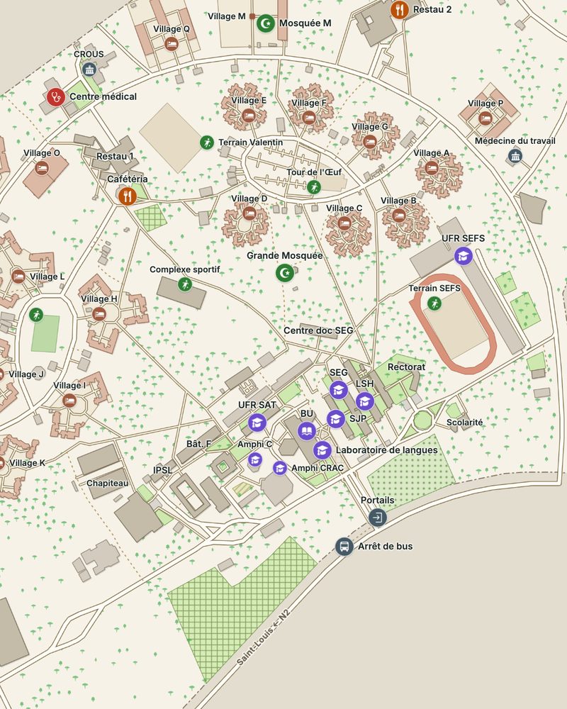
3,199 drone photos turned into a 3 cm orthophoto, 257 buildings and 30 km of footpaths digitised in QGIS, 150 named places, and walking directions that work offline on a phone. Open the map
GPS and ODK Collect survey of every health facility in the department, then integration into OpenStreetMap and Healthsites.io.
Survey123 forms, a collaborative GIS on ArcGIS Online and about fifteen maps of districts and health facilities across three countries.
Five thematic maps: distance to health centres, road accessibility, a multi-criteria synthesis and zooms on critical areas.
You deal directly with Ibrahima Sory Diallo, the person who produces your maps.
I also work for French local authorities and for fibre network engineering firms.
Municipalities, inter-municipal bodies, joint syndicates
Engineering firms, integrators, subcontractors
Feedback from collaborators and clients on our joint projects.
Describe what you need, in English or French: reply within 24 business hours, quote within 3 business days.
Request a quote