My products

Field tools I design and use on my own GIS missions.

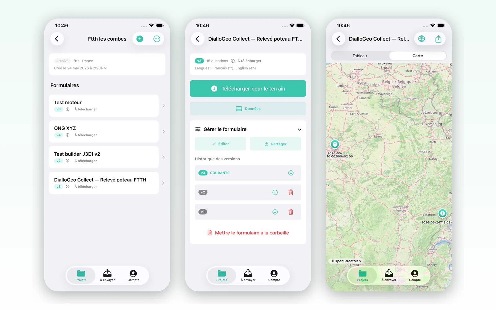
DialloGeo Collect

Web iOS soon

Georeferenced field data collection. Build your forms (ODK/Kobo-style), collect offline, export to your GIS (QGIS, GeoJSON, CSV).

Create a form Coming soon on the App Store

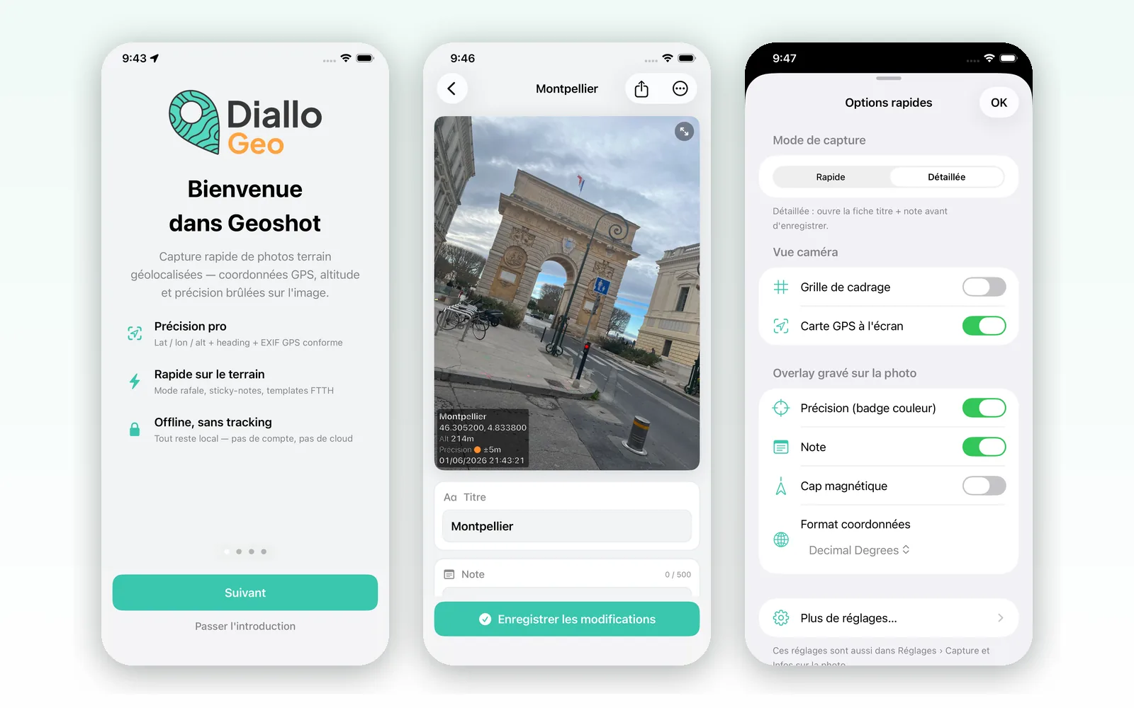
Geoshot

iOS soon

Geotagged field photos: timestamp, GPS, altitude, accuracy, customizable overlay, organized by mission. Built for FTTx survey, field audit, site monitoring.

Coming soon on the App Store

Tools I design and use myself in the field — proof that I master the whole chain, from data collection to the final map.

See my GIS services →

A mapping or GIS project?

Tell me about your needs — response within 24h.

Get in touch →